Definitions, Geodata and Climate Change
Survey on definitions, geodata & climate change
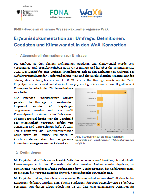
The discussions during the kick-off event and the constituent meeting of the steering committee showed the need to exchange information on further aspects across the board in order to create a mutual understanding of terms and concepts. The networking and transfer project therefore initiated an online survey on definitions, geodata and climate change. The results of this survey can be viewed here.
What do we mean by the terms?
In the survey, the WaX collaborative projects were asked about the definitions for extreme water events that they use in their project. Based on this information, the terms were further discussed in a workshop within WaX and supplemented by existing definitions e.g. of the German Meteorological Service (DWD), the Federal/State Working Group on Water (LAWA) and the Federal Water Act (WHG). Below you can see the result of this process. The descriptions of the terms are primarily for the purpose of communication with the public and are not to be understood as universally applicable definitions.
Drought describes an unusual and significant lack of water compared to the long-term averages, caused by less precipitation and/or higher evaporation than usual and measured by various indices (e.g. SPI of DWD). A drought is referred to as a meteorological, agricultural, hydrological, and socio-economic drought according to its severity and impact on various water reservoirs, and may also affect groundwater. (oriented to DWD)
Heavy rain is temporally (a few minutes to a few hours) and locally limited precipitation of high intensity, which is classified into different levels (e.g. DWD; extreme heavy rain – warning of extreme storm: > 40 l/m² in 1 hour or > 60 l/m² in 6 hours). Heavy rain can occur anywhere in Germany and can lead to rapidly rising water levels, wild runoff of surface water and urban flash floods if, for example, there is a high degree of sealing, saturated soils, overloading of sewage systems, etc. (oriented to LAWA, DWD)
Low flow risk management is a recurring, weather-related or seasonal phenomenon in a surface water body that is characterized by a below-average water level or flow rate, which is recorded with the help of hydrological parameters (e.g. the mean low water flow MNQ). Longer and significant low water phases have serious consequences for ecology and society, e.g. navigation or energy industry. (oriented to DWD, BfG)
A flash flood is a sudden, heavy rainfall-induced flood that occurs when large amounts of precipitation drain into low-lying depressions, terrain cuts or river valleys. In contrast to river floods, flash floods occur within a short period of time ranging from a few minutes to a maximum of six hours and also outside watercourses. (oriented to DWD, LAWA)
Flood is a temporary inundation of surface waters of land not normally covered with water, which is triggered by long-lasting intensive precipitation (continuous precipitation of > 12 hours), but also by melting snow and ice. For individual river gauges, threshold values determine the respective warning levels for floods. (oriented to DWD, WHG)
Activities
Here you can view the results of the survey on “Definitions, Geodata and Climate Change”.
only available in german